
Travel Information
Getting to the National Marine Park
There are plenty of easy ways to get to the National Marine Park from Plymouth City Centre. Have a look below for clear, bite‑sized travel suggestions to help you choose your route.
*All travel information is based on journeys from the city centre and are approximate timings based on current travel information. *
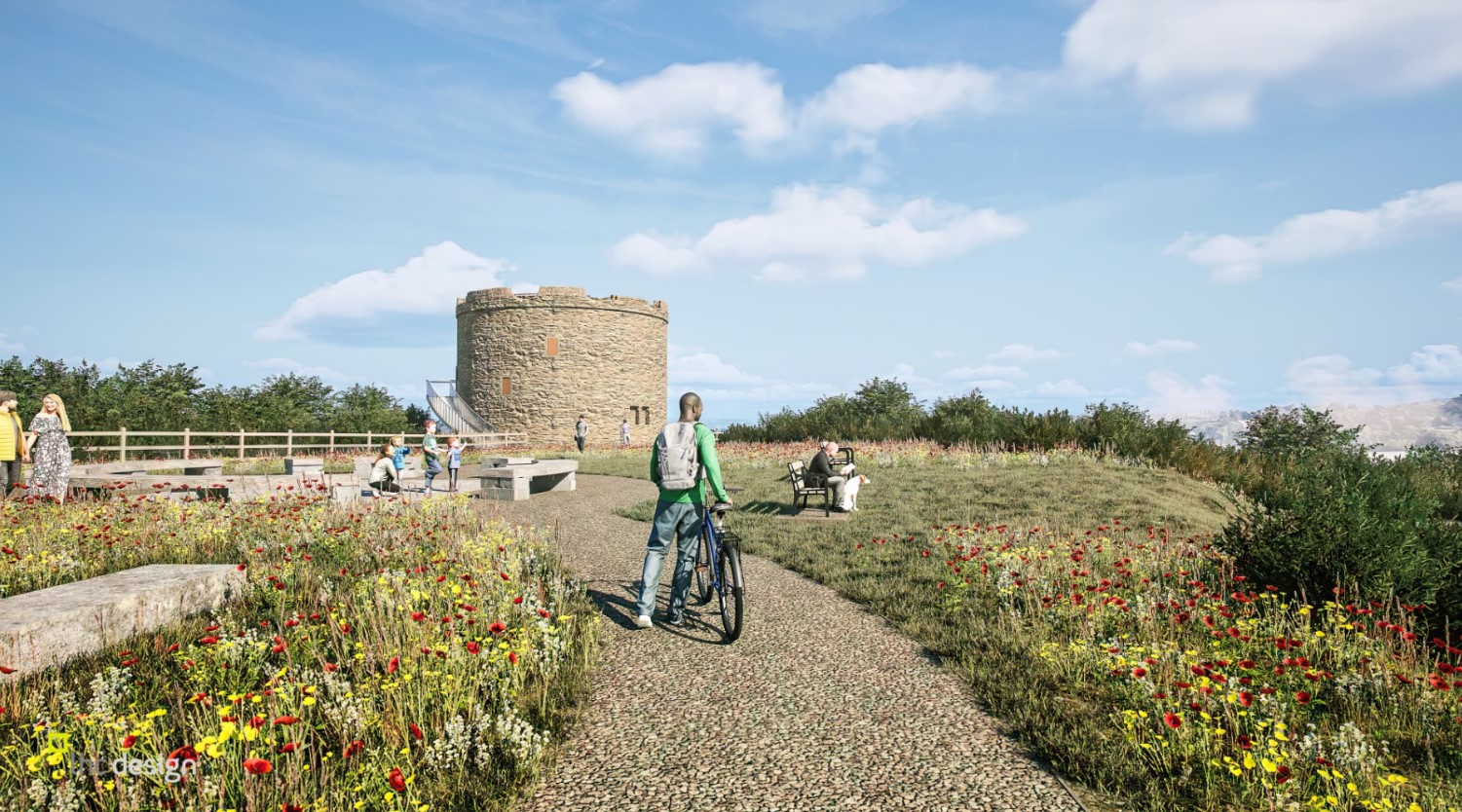
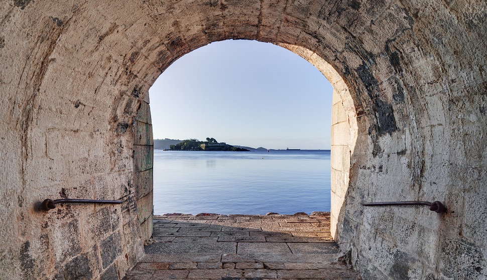
Mount Batten Peninsula
Car: From the city centre, cross Laira Bridge towards Plymstock, then follow brown signs for Mount Batten and the Watersports & Activities Centre on Lawrence Road.
Bus: Take First Bus/Citybus route 2 from Royal Parade towards Mount Batten; services run regularly and stop close to the centre.
Cycling: Ride from the city centre via Laira Bridge cycle routes into Plymstock, then follow local roads to Mount Batten, or combine with the ferry (see below) to cut out some road sections.
Water taxi/ferry: Take the Mount Batten Ferry from the Barbican landing stage; it runs all year, roughly every 30 minutes, linking the Barbican to Mount Batten in a few minutes.
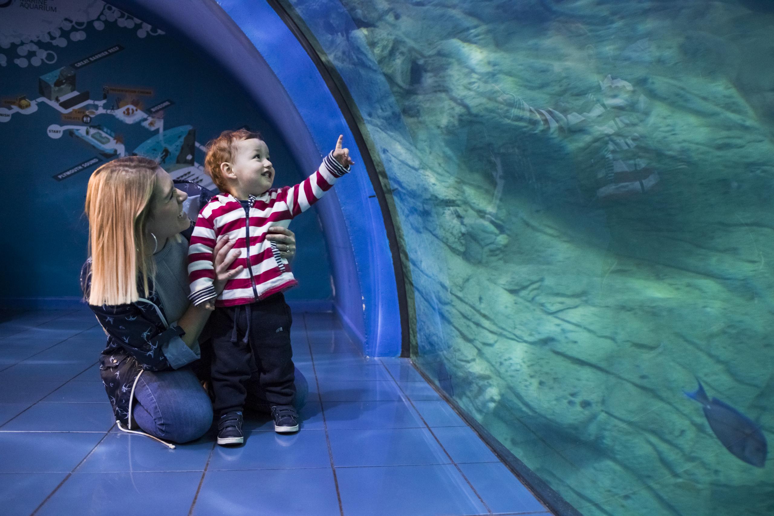
National Marine Aquarium
Car: Drive from the city centre via Exeter Street towards Sutton Harbour; follow signs for the National Marine Aquarium car park next to the harbour.
Bus: Several routes stop a short walk away at or near the Barbican/Sutton Road (e.g. Citybus 25 and 48 from Royal Parade); from there it’s around 5 minutes on foot to the Aquarium.
Cycling: Cycle down Royal Parade and Exeter Street and drop onto the Sutton Harbour waterfront path; there are flat, shared-use sections around the harbour.
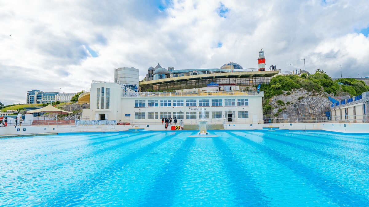
Tinside Lido
- Car: From Royal Parade, head up to the Hoe, following signs for the seafront; on-street and nearby car parks serve the Hoe and Tinside area.
- Bus: Citybus 25 runs from Royal Parade to “Plymouth Dome”, right by Tinside Lido; the journey is about 14–15 minutes and runs roughly hourly.
- Cycling: A short, mostly uphill ride from the city centre up to the Hoe, with stunning views of Plymouth Sound from the promenade.
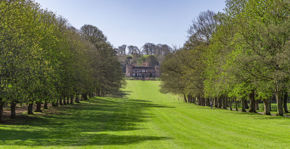
Mount Edgcumbe
Car: Drive from Plymouth via the Tamar Bridge (A38 → A374 → B3247) following brown signs to Millbrook and Mount Edgcumbe; alternative is via the Torpoint Car Ferry then A374/B3247 to the estate.
Bus: From Royal Parade, Citybus 70/70B runs through to Cremyll and Mount Edgcumbe on the Cornwall side, with stops near the park entrances.
Cycling: Cycle to Admirals Hard or Royal William Yard, then either take the Cremyll Ferry with your bike or continue across Tamar Bridge and follow signed routes towards Mount Edgcumbe.
Water taxi/ferry: Take the Cremyll Ferry from Admirals Hard (Stonehouse) direct to Mount Edgcumbe (about 7 minutes), or seasonal Plymouth Boat Trips services from the Barbican/Royal William Yard to Mount Edgcumbe.
Firestone Bay
Car: Drive from the city centre to Stonehouse and follow signs for Devil’s Point; there is a free 3‑hour car park at Devil’s Point Park.
Bus: Buses from the city centre stop along Durnford Street and Cremyll Street; from there it’s a short walk through the park to Devil’s Point and Firestone Bay.
Cycling: Cycle from Royal Parade through Millbay and Stonehouse or via the Hoe and Royal William Yard; the South West Coast Path link (“Stairway to Devon”) connects Royal William Yard and Devil’s Point.
Water taxi/ferry: You can link a boat trip to Royal William Yard or the Cremyll Ferry at nearby Admirals Hard with a short waterside walk round to Firestone Bay/Devil’s Point.
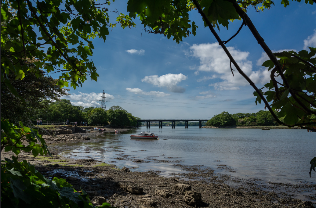
Ernesettle Creek
Car: From the city centre, drive out via the A3064/Tavistock Road direction and follow local roads signed to Ernesettle; on‑street parking is available near the creek access points.
Bus: Citybus 43 from the city centre (North Cross/Royal Parade) runs to Ernesettle, with stops at Digby Grove, Lakeside Drive and nearby streets, about a short walk from the creek.
Cycling: Use city cycle routes heading northwest from the centre towards St Budeaux/Ernesettle; quieter residential roads lead down to views over the Tamar and the creek.
Kinterbury Creek
Car: From the city centre, drive north towards the Tamar estuary (likely via St Budeaux/Tamerton area depending on exact access point) and follow local roads to creek‑side paths.
Bus: Use city services heading towards the northern Tamar creeks and alight at the closest stop to the identified Kinterbury Creek access (e.g. routes serving St Budeaux/Tamerton), then walk down.
Cycling: Follow signed and quiet routes out of the city towards the upper Tamar, then use local lanes or paths to reach the creek.